Survey and Investigation
Business Areas
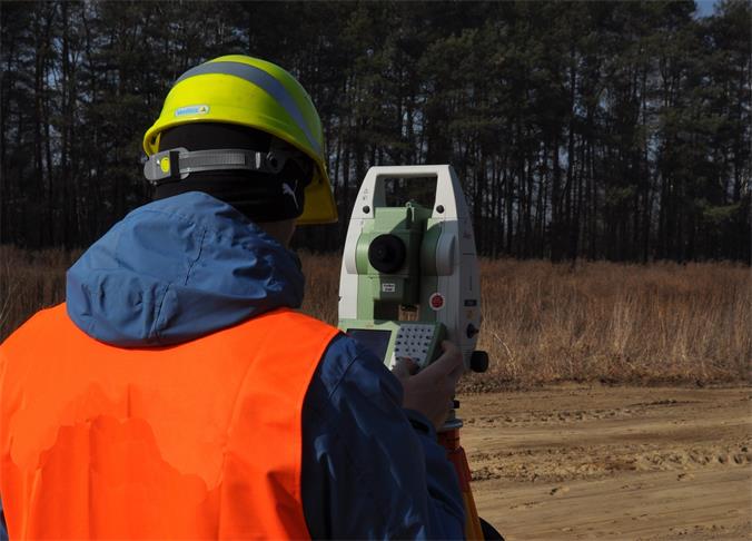
Engineering Surveying and Mapping
Main business: 1. Mapping and surveying, deformation observation and deformation analysis for various large engineering, like railways, roads, bridges, tunnels, and ports; 2. Marine surveying and mapping, hydrographic surveying and mapping, and underwater topographic mapping; 3. Precise engineering survey; 4. Cadastral surveying and mapping; 5. Geographic information software research and development; 6. Surveying and mapping supervision; 7. Engineering supervision and management.
Engineering Survey
Mainly engaging in geotechnical engineering survey for railways, roads, bridges, tunnels, ports, wharfs, and industrial and civil buildings; able to survey under complicated natural conditions and complicated geological conditions, such as deep water, rapid stream, waves, tides in rivers, gulfs and costal areas.
Geophysical Prospecting
Seismic reflection and refraction in waters or shallow land; surface wave prospecting; high-density electrical prospecting and conventional electrical prospecting. Comprehensive lateral and transverse wave testing, ground pulse testing, pile foundation detection, and pipeline investigation, etc.
Geotechnical testing
Able to test various soil engineering, rock, and concrete, and offer various geotechnical physical and mechanical parameters for the engineering survey and design.
Geotechnical engineering design
Able to have geotechnical engineering design for bridge slope rectification and protection according to the bridge design, and offer support to stable slope of the bridge.